Land degradation is severe in Kenya due to deforestation and land use cover change (LUCC) which replaces high value biomes with low-value biomes. Due to deforestation and charcoal-making, Kenya lost 12,400 ha of forest from 1990-2015. Deforestation is especially severe in the Rift Valley (Baker and Miller 2013). The closed canopy forest – which covered approximately 12% of the land area – has been reduced to only 1.7% of its original size (GOK 2010). Excluding charcoal and other subsistence uses, Kenya’s forests account for 3.6% to Kenya’s GDP and support agriculture, livestock, energy, trade, and other industries – which cumulatively contribute about 39% of the GDP. Forests comprise the country’s water towers and catchments where over three quarters of the renewable surface water originates (GoK 2014). Conversion of grasslands and shrublands to cropland has also occurred in many provinces – leading to 16% of cropland expansion from 1990-2015. On static biomes – i.e., biomes which did not experience LUCC, use of land degrading management practices has led to reduced productivity of cropland and grazing lands.
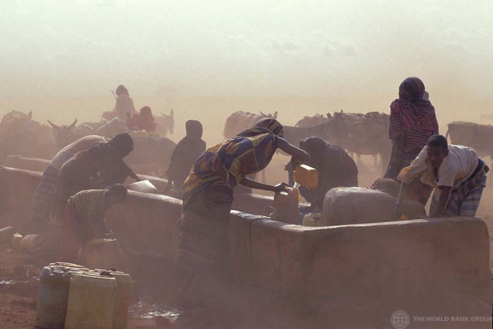
Over 80% of Kenya’s total land area is classified as arid and semi-arid land (ASAL) and is considered being at risk of desertification. The ASAL region is home to about 30% of Kenya’s human and 50% of its livestock population. 90% of the total meat consumed in the country comes from the ASAL (GoK 2010). The livestock sector in the ASAL employs 10 million people – which is 90% of the adult labor force and accounts for 95% of household income (GoK 2010). Overgrazing in the ASAL region (Mwaura et al 2017) is due mainly to the rapidly increasing livestock population. While grassland areas declined, the number of heads of cattle almost doubled from 14 million in 1990 to 21 million in 2016 (FAOSTAT 2016).
This study analyzes the severity and cost of land degradation in the ASALs focusing on three Areas of Interest (AOIs) – Garissa, Turkana, and Wajir Counties. It identifies suitable restoration options and makes recommendations on how to facilitate their large-scale uptake. Spatial maps are used to present the results – an approach which will help the government and development partners to design and implement investment projects. Chapter 2 provides relevant background information about the institutional, environmental and economic environment of the AOIs. Chapter 3 discusses the cost and drivers of land degradation. Findings of the spatial analysis on the extent of land degradation in the AOIs are presented in Chapter 5. Chapter 6 describes some lessons learnt and past experiences with resource conservation and sustainable land management before Chapter 7 concludes and proposes some policy recommendations.
Vollständige Publikation PDF; [354 KB]